

Getting around Paxton, Illinois, means planning around the town centre and checking regional travel information before you set out. From Paxton Inn Motel, the centre is about a 26-minute walk or a 2-minute drive, while IDOT provides maps and resources for road, transit and rail planning.
- City centre: about a 26-minute walk or 2-minute drive from the motel
- Nearest airport drive times in the supplied routes: about 39 to 64 minutes
- Road planning: IDOT has interactive maps and closure information
- Transit and rail: check IDOT’s transit-provider and Amtrak maps

Paxton’s compact town centre
Paxton city centre is about a 26-minute walk or 2-minute drive from Paxton Inn Motel. For a visit focused on the centre, you can plan the journey around that travel time; the guide to Paxton city centre covers the destination itself.
Paxton Inn Motel is the starting point for the distances below. The centre’s travel time is the only local journey figure available here, so allow for your own route and conditions when planning.
Walking and driving around town
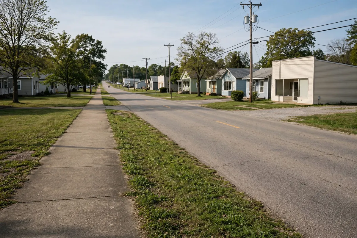
The listed local options for reaching Paxton’s centre are walking or driving. From Paxton Inn Motel, the walk takes about 26 minutes; driving takes about 2 minutes. For driving beyond town, road and weather conditions can change quickly, according to the Illinois Department of Transportation (IDOT).
IDOT provides an online map for planned and unplanned road closures. Its Illinois Roads Interactive Map includes winter road conditions, annual average daily traffic, road construction, trucking routes and planned road projects. Check the official site before you go.

Regional connections and transport checks
Several airports have driving-time estimates from Paxton Inn Motel: University of Illinois Willard Airport is about 39 minutes away, Greater Kankakee Airport about 51 minutes, and Central Illinois Regional Airport at Bloomington-Normal about 64 minutes. General Wayne A. Downing Peoria International Airport is roughly 84.1 miles away. For help weighing airport options, use the Paxton airport comparison.
For public transport planning, IDOT directs travellers to its Transit Services Map for current provider data and describes the Illinois Bus Network as a source of travel information about destinations throughout Illinois. Its Amtrak Services Map is available for checking passenger-rail routes in the state.

Planning local journeys from your stay
Start with the purpose of your trip, then choose the relevant transport information: use the closure map for road disruptions, the interactive map for road conditions and projects, or the transit and Amtrak maps for public transport options.
IDOT’s travel-and-maps portal brings together real-time road-condition and road-construction resources for trips across Illinois. Its roadway resources also link to IROADS for current and planned projects, roadway attributes, bridge inventory and pavement conditions. The Getting Around Illinois map provides annual average daily traffic counts for state highways.
FAQs
Where can you check for road closures near Paxton?
IDOT provides an online road-closures map covering planned and unplanned closures.
Does IDOT provide information about buses and trains in Illinois?
Yes. Its resources include a Transit Services Map, the Illinois Bus Network and an Amtrak Services Map.
When is IDOT’s Winter Road Conditions map available?
IDOT says the map is available from November through April.